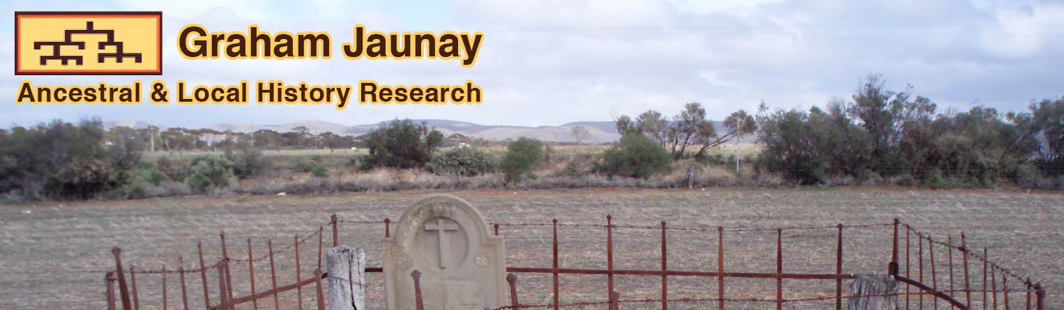
Cemeteries in the Regional Council of Goyder
Using the coordinates and an online map you should be able to pinpoint the location. For example go to Google and paste into the search engine: -30.226653,138.452706 and you will be presented with a map showing Avondale Station Cemetery.
Apoinga (Aka Tothills Gap) (-33.960375,138.940753)
Apoinga Lutheran (Aka Tothills Gap) - precise location not known (-33.929618,138.884681)
Australia Plains (-34.098097,139.145567)
Baldina St Paul Lutheran (-33.733692,139.133894)
Booborowie (-33.512407,138.743162)
Bower Immanuel Lutheran (-34.126619,139.356383)
Bower St Peter Lutheran (-34.121062,139.357974)
Bri-Glen Springs - precise location not known (-33.2664480,139.0109785)
Brownlow St Paul Lutheran (-34.246610,139.268240)
Bundey Lutheran (-33.887645,139.315694)
Burra (An Amalgamation Of Aberdeen, Copperhouse, Graham, Hampton, Kooringa, Llwchwr, Lostwithiel, Redruth) (-33.689893,138.946337)
Canowie Old Station (-33.301746,138.759281)
Dutton St John Lutheran (-34.360953,139.143053)
Emmaus Lutheran (-34.126249,139.069571)
Emu Downs St John Lutheran (-33.916101,138.992164)
Emu Vale (Brady Creek) (-33.951019,138.997678)
Eudunda (-34.173658,139.096649)
Farrell Flat (-33.824939,138.785577)
Geranium Plains St Stephen Lutheran (Vogelsang Corner) (-33.985011,139.188078)
Hallett (-33.404173,138.893839)
Julia Lutheran (-34.114087,139.027389)
Ketchowla Station (-33.289385,139.216356)
Mungibbie Station (Fmrly Stewarts Old Station) - homestead location only (-33.259134,138.979229)
Neales Flat St Stephan Lutheran (-34.228894,139.161873)
Neales Flat Sts John & Paul Lutheran (-34.229167,139.1625)
North Anlaby Trinity Lutheran (-33.951001,138.997774)
Peep Hill (-34.189112,139.164897)
Peep Hill St Michael Lutheran (-34.146898,139.154387)
Piltimitiappa Station (-33.352232,139.104686)
Point Pass Immanuel Lutheran (-34.088331,139.052095)
Point Pass St Petri Lutheran (-34.088380,139.052177)
Robertstown St John Lutheran (-33.992667,139.074795)
Robertstown Zion Lutheran (-33.985440,139.075915)
Sutherlands St John Lutheran (-34.154207,139.230057)
Tableland Lutheran (-34.289960,139.108257)
Terowie (-33.141279,138.927344)
Tracy (-33.561103,139.116155)
Upper Bright Zion Lutheran (-33.870257,139.068493)
Whyte-Yarcowie (-33.238714,138.893493)
Worlds End Creek (Lapford) (-33.805728,139.071324)
Back to introduction page.
|